
Pinellas County Neighbor Sources
Public sources describe a Pinellas County block in layers. Parcel GIS shows the taxable lots around one address. Property detail adds recorded owners, separate mailing and site addresses, use, legal description, and deed links. Voter data can add some registered residents, but only through the proper self-lookup or public-extract channel. Permits and community contacts describe the place, not a household. No source supplies every neighbor.
| Source | What It Shows About a Block | Access |
|---|---|---|
| PCPA GIS and parcel detail | Adjacent parcels, owners, mailing address, use, deed links | Free click-adjacent viewer |
| Enterprise GIS | Municipal, planning, flood, election, and service context | County GIS catalog |
| Voter extract | Public registered voters sortable by residence or precinct | State or county request; protected entries omitted |
| Permits and code | Work, cases, applicants, contractors, and status by address | Accela or the proper city system |
| Reverse directory or census | Past address sequence and historical households | Library, archives, or NARA |
| Community coordinator | Government contact for named unincorporated areas | My Neighborhood; no member roster |
Ownership and occupancy are not the same. A parcel can be rented, held by a trust or company, or include many units. The owner's mailing address tells where tax mail goes. A matching mailing and site address, plus homestead status, may support an owner-occupancy idea, but it does not identify everyone in the home.
Map Pinellas County Neighbors
The exact adjacent-parcel method is visual. The PCPA GIS viewer offers one search field for owner, address, or parcel ID. It can show aerial, filled parcel, non-filled parcel, or countywide-plan maps. Clicking an outlined polygon replaces the detail with that parcel. There is no automatic household list or named-radius export.
- Search the target address and confirm its site address and parcel boundary.
- Zoom until outlines are clear. Click parcels beside, behind, and across the road one at a time.
- Record each parcel ID, owner, site address, separate mailing address, property use, and deed link.
- Use Selected to return to the first parcel. Use Measure only for distance or area, not a legal boundary.
The official parcel service below underlies this block method. It should be used as a selection tool, since the county warns that its map is not a title search, land survey, or final source for boundaries.
The county parcel GIS service exposes the mapped parcel layer used for Pinellas County neighbors.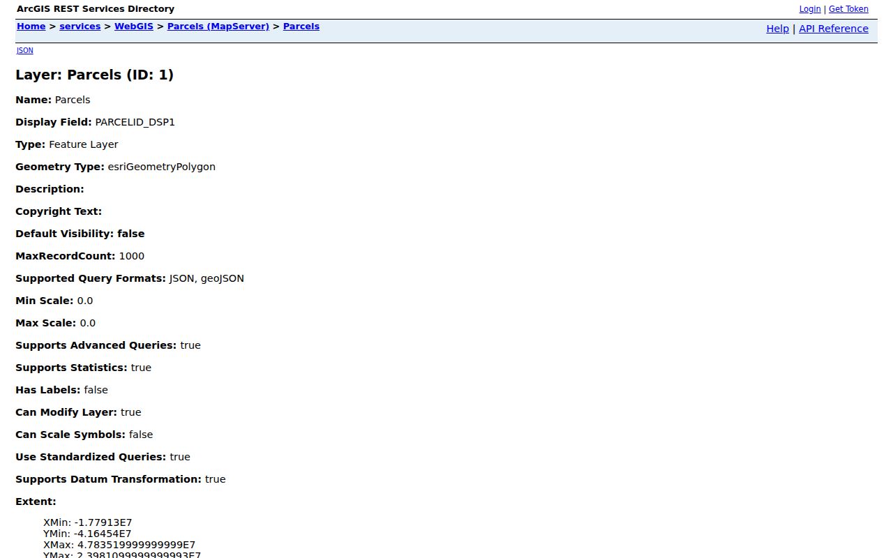
The service supports spatial queries, but the public consumer workflow remains click, pan, and zoom. For a complete named-street chain, use the Pinellas County street directory method.
Sales highlighting can add time context without identifying an occupant. Select a sale year, then inspect each highlighted parcel's detail and recorded deed. The Measure tool reports distance or area after map clicks, which can help define a consistent study area. Neither function creates a radius-based owner export. Parcel lines, roads, and condo common areas should be read with care, especially along the county's dense mainland corridors and small coastal municipalities.
Read Pinellas County Neighbor Parcels
The property roll distinguishes the site's physical address from the owner's tax-mail destination. That split is one of the most useful lawful clues for Pinellas County neighbors. It can show that an owner receives mail elsewhere, but cannot name a renter. Homestead exemption can support a permanent-residence theory for a qualifying owner, yet filing dates, trusts, exemptions, and redactions keep it from being proof.
The Property Appraiser data-download page documents the county roll as a public data source.
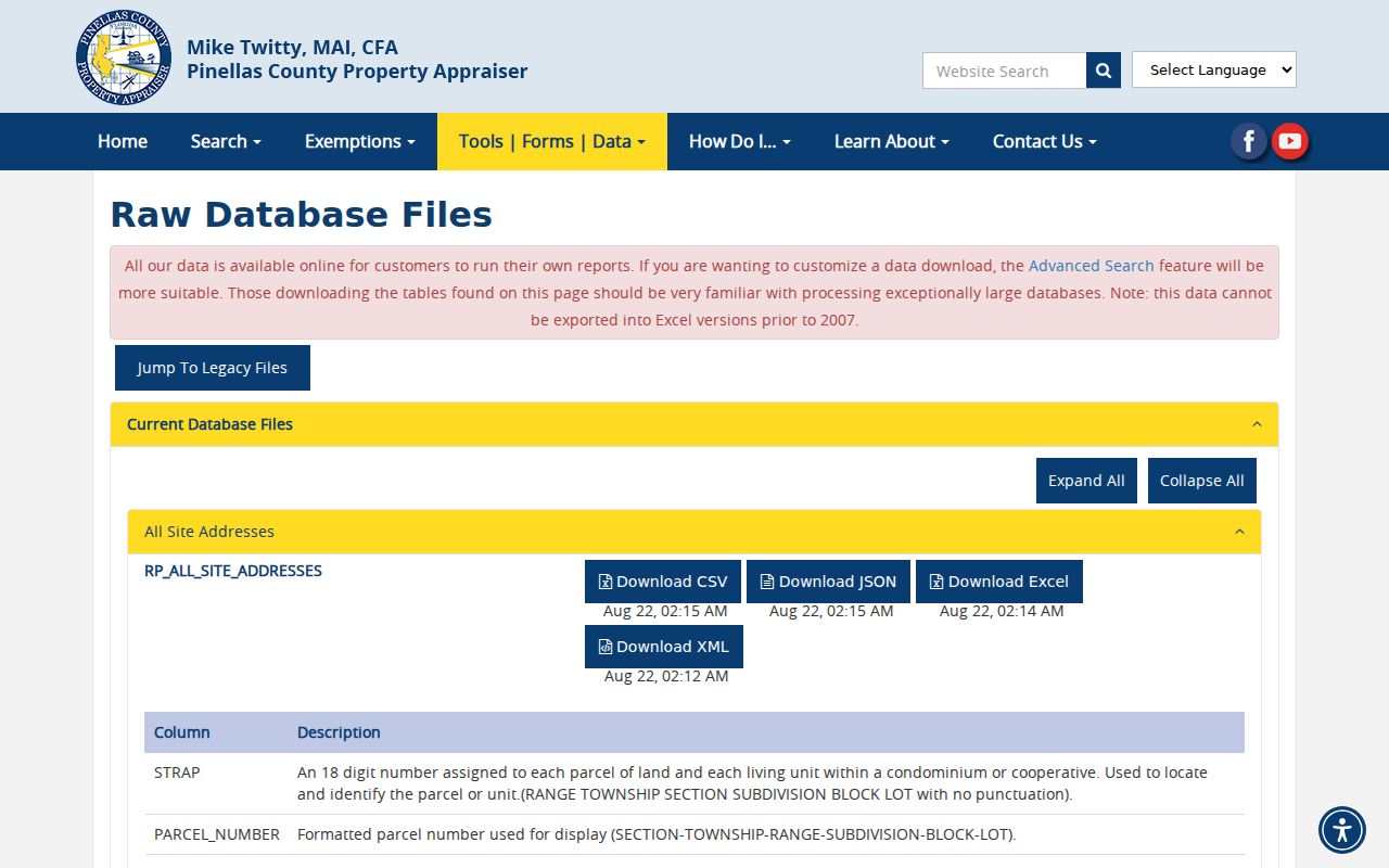
Bulk files do not change the meaning of the fields. Condominiums and common areas also break a simple one-polygon, one-home assumption. Verify any selected parcel on its detail card and deed rather than inferring a household from a data row.
Pinellas County Neighbor Voter Records
Florida treats a voter record's name, residence, party, registration status, precinct, districts, and participation history as generally public, with defined exceptions. The statewide status tool is for a voter checking their own record with identifying facts. It is not a way to browse everyone on a block. A lawful public extract can be sorted by residence, precinct, or ZIP when those fields are supplied.
The official Florida voter-status page shows the self-service route.
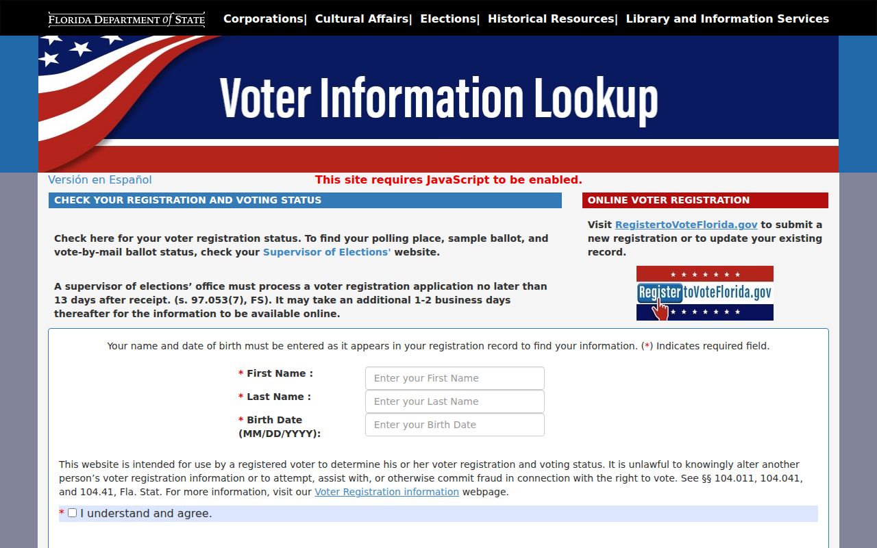
For a block study, use the state voter extract request or contact Pinellas Elections IT. The state request page shown below explains the official extract channel.
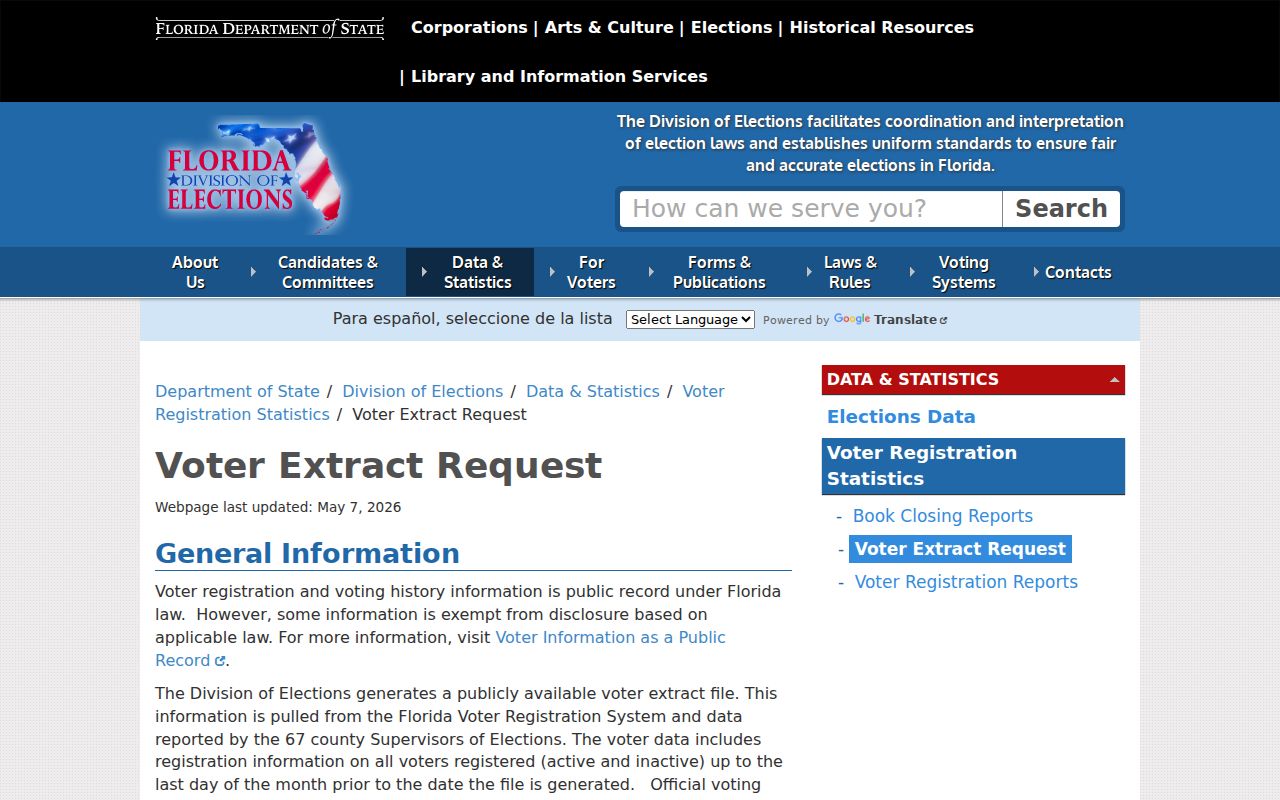
An extract omits nonvoters, preregistered minors, and protected residents. Participation history shows only that the voter was credited in an election. It never reveals a ballot choice.
Pinellas Elections also accepts data inquiries through its IT staff by email or phone. A useful request names the needed public fields, geographic unit, file format, and date. Street, precinct, and ZIP are different filters, so state which one serves the block question. Ask the office to remove exempt fields as required. That route is more reliable than trying to convert the authentication-based voter status screen into a neighbor browser.
Florida Rules for Pinellas County Neighbors
The Department of State's public voter information notice separates open fields from confidential ones. Social Security, driver-license, Florida ID, and application-source data remain confidential. Signatures may be inspected but not copied. Address Confidentiality Program participants and eligible protected classes can shield address information.
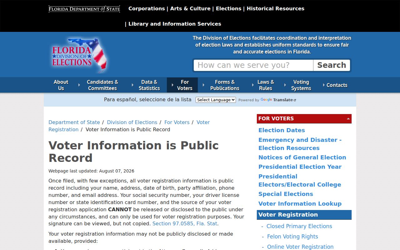
A no-match must never be used to infer that a person is absent. Registration can be inactive, stale, protected, or nonexistent. Cross-check only the public field needed for the block question and preserve the difference between a registration address and present physical presence.
Pinellas County Community Contacts
Pinellas County Community Coordinators provide public service contacts for named unincorporated communities. They do not publish resident or association membership rolls. Incorporated cities maintain their own programs, and no verified official countywide roster covers every HOA or voluntary association. Use the publisher's current contact, not a copied member list.
Central and South
High Point, Harbor Bluffs, Ridgecrest, Seminole, Bardmoor, Gandy, Bay Pines, Bear Creek, Tierra Verde, and Feather Sound appear in the county coordinator coverage.
Lealman Areas
Lealman and West Lealman have a county community-coordinator route through My Neighborhood.
North County
East Lake, Palm Harbor, Highland Lakes, Crystal Beach, Ozona, and Greenbriar are named in the north-county coverage.
The unincorporated code-enforcement page is another place-based contact for parcels under county jurisdiction.
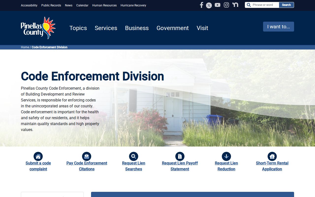
Postal city names do not decide which office handles a parcel. Pinellas has 24 municipalities, unincorporated communities, mainland corridors, and barrier-island cities. Confirm jurisdiction through My Neighborhood or GIS before contacting a city or county desk.
An HOA boundary is also not the same as a neighborhood boundary. Plats, recorded declarations, parcel lines, and an association's own current contact can clarify the covered area. A congregation, civic club, or neighborhood watch may publish officers, yet its members should not be assumed public. County coordinators are the sound first contact for service questions in the listed unincorporated communities. Inside a city, use that municipality's official neighborhood program.
Official Pinellas County Neighbor Records
Official rolls and commercial neighbor tools answer different questions. A public office identifies the custodian, update cycle, field meaning, and correction route. A commercial result may merge public and purchased data, lag a move, or attach a person to the wrong unit. It should not replace the parcel, voter, permit, or community source.
| Point | Official Source | Commercial Category |
|---|---|---|
| Provenance | Named county or state custodian | Compiled from varied sources |
| Meaning | Defined fields such as owner, parcel, or voter status | May blend owner, occupant, and prior-address clues |
| Correction | Direct route to the holding office | Site-specific suppression or dispute |
| Block use | Narrow, record-specific research | May suggest links that need official confirmation |
Historical reverse directories offer a separate, useful layer. They arrange older occupants by street and house number, but coverage varies by city and year. Street renumbering and publication gaps can shift an apparent block. Treat an old entry as dated history, not a claim about current neighbors.
Permits and code cases add another official layer. Pinellas County's Accela search accepts street-number ranges and street names, but its normal date window covers only the recent period unless widened. Results can identify a record number, work type, status, reviews, inspections, and an applicant or contractor. These facts date activity at a parcel, not a resident's arrival. Coverage also splits by jurisdiction, so a city system may hold the relevant record.
Enterprise GIS can supply flood, planning, election, service, infrastructure, and municipal context. Those layers explain the block without naming the people in it. They are especially useful on Pinellas County's narrow peninsula, where a postal place name can span a city line and an unincorporated service area. Keep geographic context separate from identity evidence, and record the layer date when comparing changing boundaries.
Pinellas County Neighbor Privacy Limits
Public records do not form a public household roster. Renters, children, utility customers, delivery data, DMV addresses, and private group members are not reliably exposed. Florida's Address Confidentiality Program supplies eligible survivors with a substitute mailing address. Voter and agency exemptions can shield protected address fields. A gap may reflect lawful protection rather than a faulty search.
Florida law also limits misuse. Public availability does not grant permission to monitor a home, impersonate a person, or press unwanted contact. Use Pinellas County neighbors research for civic curiosity, a community contact, family history, or a narrow property question. Leave household relationships private unless an independent lawful public record states them.
Lawful use. Use block records with care. Never use an address, map, voter entry, or community contact to stalk, harass, threaten, or intimidate anyone.